top of page


Lote 45


![FIRMS_2024-10-23_2024-11-22[_-59.9,-1.6,6.7z].jpg](https://static.wixstatic.com/media/ccda4e_535e8e164f814f9db12f2d1637710631~mv2.jpg/v1/fill/w_586,h_295,al_c,q_80,usm_0.66_1.00_0.01,enc_avif,quality_auto/ccda4e_535e8e164f814f9db12f2d1637710631~mv2.jpg)
FIRM NASA
NASA's Fire Information for Resource Management System (FIRMS) provides near-real-time data on active fires using satellite observations.
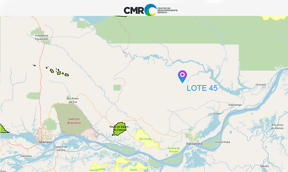
(CMR) was developed to enable daily monitoring of occurrences such as deforestation, degradation, changes in land use and occupation in these territories.
Indigenous Area
Greenline does not allow the use of land areas that overlap any indigenous lands, therefore through the FUNAI Monitoring Portal, it is demonstrated and proven here that the land areas do not overlap indigenous lands .

Pigmentation Analysis and Carbon Sequestration
2023 - 2024
Âncora 1
PIGMENTATION ANALYSIS
2023


2023


CARBON SEQUESTRATION
2023


2023


TOTAL CARBON SEQUESTION


TOKENIZATION
Year 2023 (January to December)
TOKEN ID: BEsz5HUq8rTwCBxC7Yv7T9xsfLojWwxUv9Fk5E8Ygzw7
Name: GREENLINE-LT4523
Amount: 62,965.85 Credits
Issue Date: NOV 2024


bottom of page